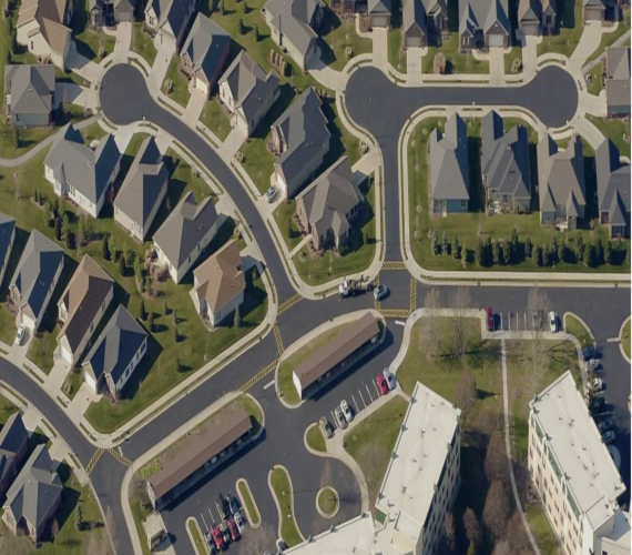
EagleView is a leader in aerial imagery, machine learning derived data analytics and software, helping customers in different industries use property insights for smarter planning, building and living. With 200+ patents, EagleView pioneered the field of aerial property measurements and has the largest multi-modal image database in history covering 98 percent of the U.S. population. With over 9.5 million linear miles flown every year, EagleView’s coverage is the most extensive and up to date, enabling local government and business customers to use the most accurate data to make timely and informed decisions.
https://my.eagleview.com/Order.aspx


